


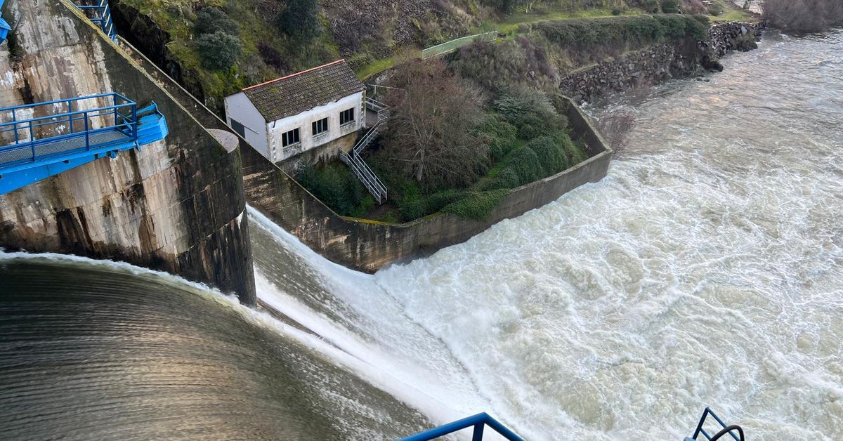
The Duero Hydrographic Confederation maintains special surveillance over the Arribes del Duero reservoirs, where orange level warnings are being registered, with the possibility that these will be maintained or even increased as the flood waves from the tributaries of the basin converge. A surveillance that is extended to the rivers and streams of the basin due to “the increase in flows caused by heavy rains and melting ice after the successive passage of Atlantic fronts associated with the same train of storms, as it passes through the demarcation.”
The warnings are currently concentrating on the lower parts of the main tributaries and on the middle and lower reaches of the Duero River itself. A day that, according to the CHD, is being calmer than this Sunday, since a not very active front has passed through us, which will be followed by another similar one during the afternoon, which will leave rainfall in mountainous areas of the northern half of the basin. For the central hours of tomorrow, Tuesday, another front is expected that will leave more intense rainfall on the western facade and mountainous areas of the southern half of the basin.
On the other hand, the reservoirs of the Duero basin stored 2,235.1 cubic hectometers this Monday, 180 hm³ more in the last week due to the rains and thaw, which represents 78.3% of their capacity, in the case of the Salamanca reservoirs, the total is at 79.8 percent with a total of 495.7 hm3 of the 621.5 maximum capacity. The Tormes system, with the Santa Teresa reservoir, is at 81.1 percent while the Águeda system, with Irueña and Águeda, is at 74.3 percent. In total, the


